
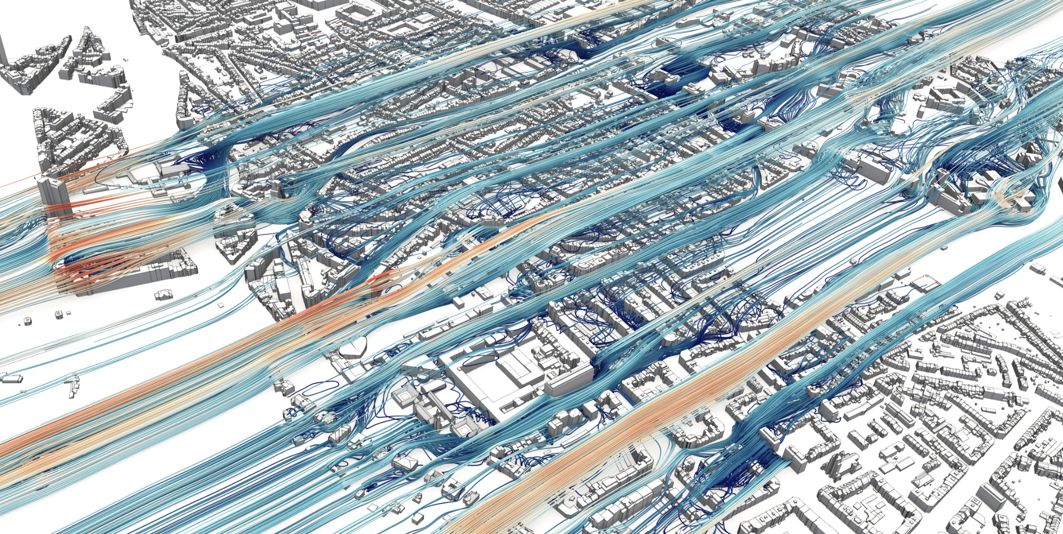
The city edits the weather
Two streets a hundred metres apart share the same forecast and live in different climates. One is a wind corridor, the other is sheltered. One bakes against a south-facing facade, the other sits in the shade of trees. The regional weather is the input; what people actually experience is the city’s edit of it, made at three scales at once: the street canyon, the block, and the district.
Everything is coupled
The components do not act separately. Wind carries heat out of streets, or fails to. Warm facades drive rising air that moves pollutants. Shade changes surface temperatures, which changes the local flow. A new tower edits wind, sunlight and air quality in one move, which is why intuition alone routinely misjudges the outcome, and why microclimate questions keep appearing in permit reviews for projects that expected none.
A design variable, not a given
For a planner the practical shift is to treat the microclimate as something a plan produces, with the same seriousness as parking counts or daylight. Street orientation against the prevailing wind, the placement of towers, the ratio of green to sealed surface: each is a microclimate decision. Simulation computes the result on the real geometry, down to the building scale, while the plan can still change. Most of our applications, wind comfort, thermal comfort, air quality, the heat island, are this one subject seen from four sides.
Where this shows up in our work