
Where the extra heat comes from
Dense, dark materials such as asphalt and concrete absorb solar radiation all day and release it slowly. Street canyons trap that radiation by reflecting it between facades instead of letting it escape to the sky. Sealed surfaces evaporate no water, so the cooling that fields and forests get for free is missing. Traffic and building systems add waste heat on top. None of these causes is exotic; all of them are decided at the drawing board.
A night problem, a health problem
The heat island is mostly a night effect. Daytime differences are modest; after sunset the stored heat pours back into streets that cannot cool, and calm, clear nights, exactly the nights of a heat wave, are the worst. A run of tropical nights without recovery is what puts elderly and vulnerable residents at risk and drives cooling energy demand.
For a municipality this defines the priority list: it is not the average street that needs attention, but the densest, most mineral neighbourhoods, which are often also the least green ones.
Mapping it, then fixing it
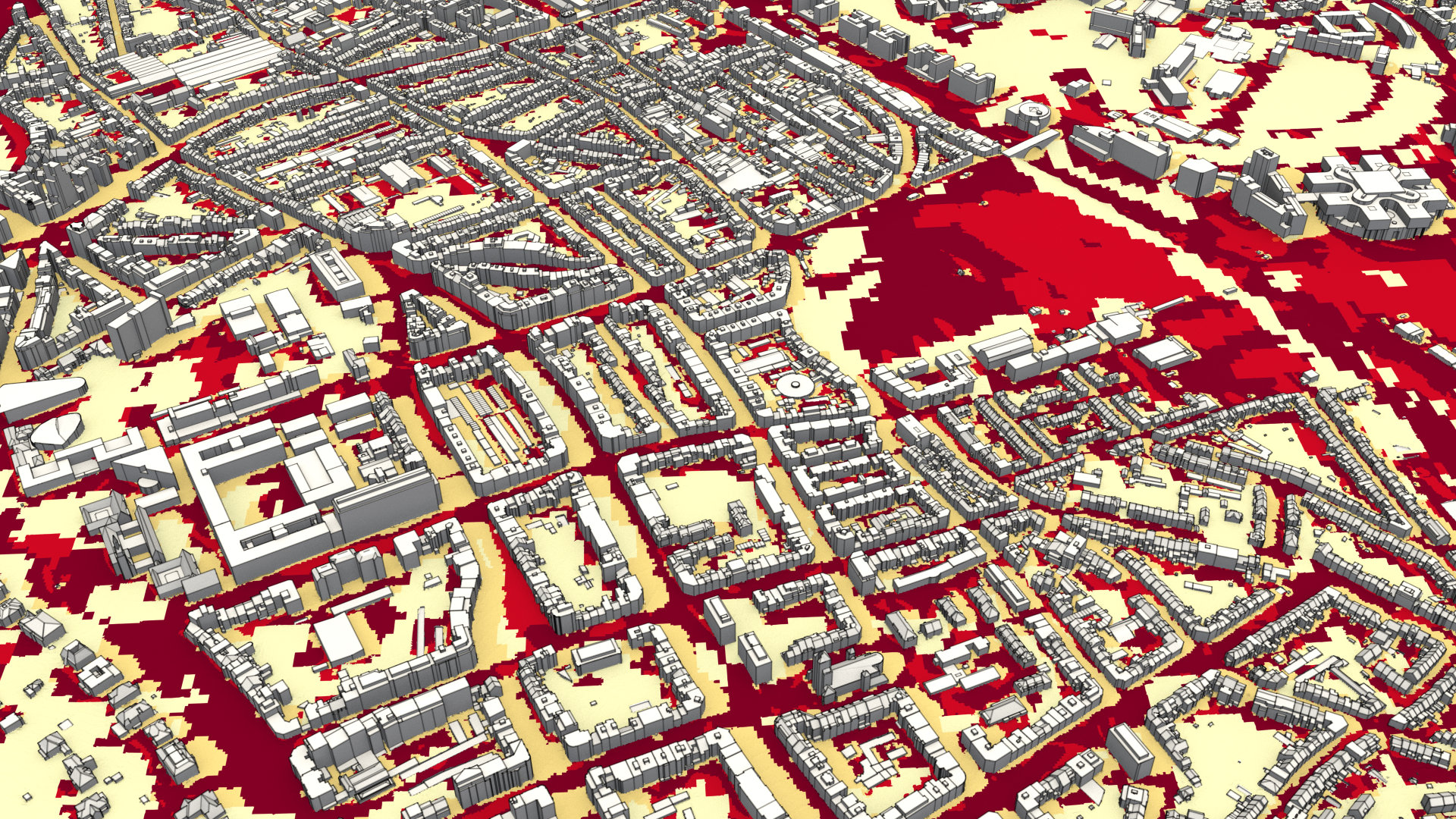
We map heat stress with UTCI, an index that combines air temperature, radiation, humidity and wind into one value people can be compared against. Two sides of the same square can differ by more than ten degrees of UTCI. Simulated before and after an intervention, the maps show what each measure buys: lighter surfaces, shade, vegetation and water, or openings that let wind ventilate the streets. That evidence is what turns a climate adaptation plan from a list of intentions into a ranked programme.
Where this shows up in our work